Another very interesting publication using object based methods to detect single trees on very high resolution imagery is online.Raphael Spiekermann, Martin Brandt, Cyrus Samimi, Woody vegetation and land cover changes inthe Sahel of Mali (1967–2011), International Journal of Applied Earth Observation and Geoinformation, Volume 34, February 2015, Pages 113-121.It can be downloaded for free until … Continue reading Woody vegetation and land cover changes in the Sahel of Mali (1967–2011)
Tag: RapidEye

50 years of woody vegetation and land-cover change in the Sahel of Mali
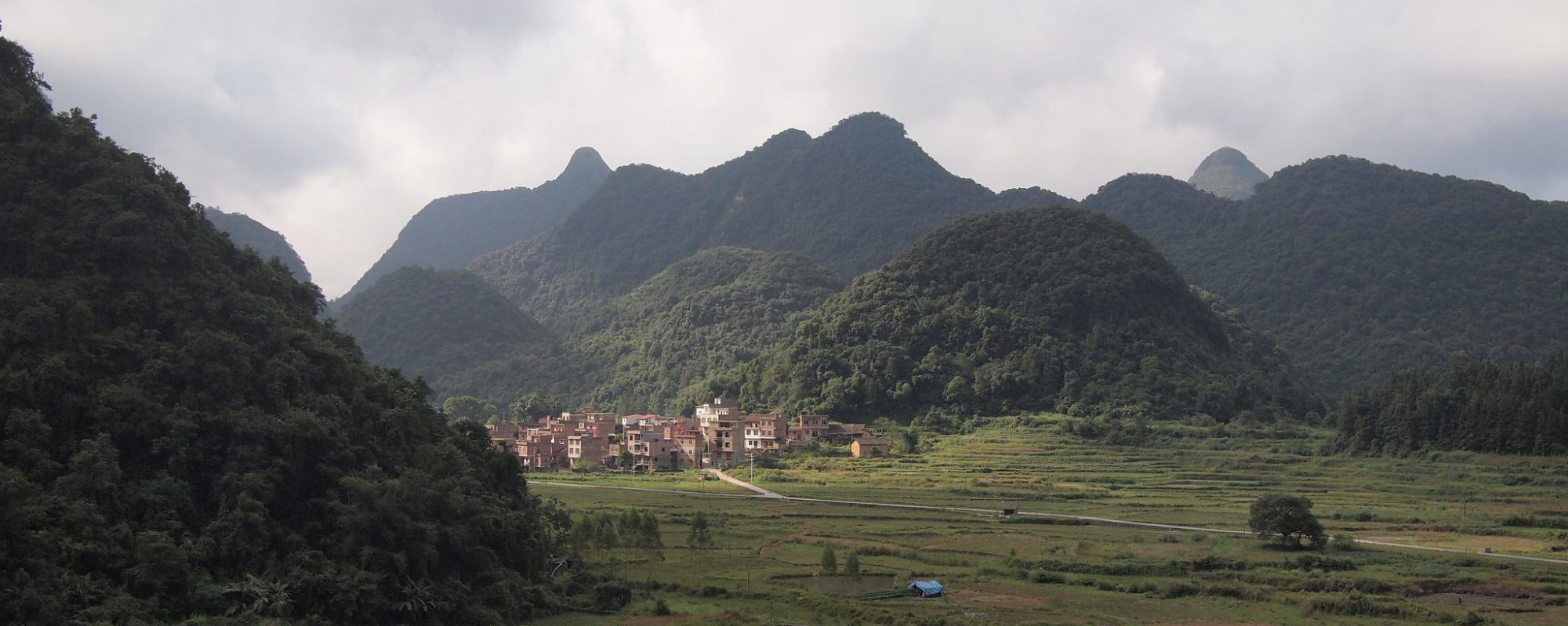
The Sahel region has often been acclaimed as one of the “hot spots” of environmental change. Degradation of environmental conditions was accelerated by droughts and an overall decrease in precipitation. The resulting loss of woody vegetation cover was often considered as irreversible desertification. Recent findings, based on small-scaled analyses of satellite images, show an increase … Continue reading 50 years of woody vegetation and land-cover change in the Sahel of Mali

Detecting environmental change using time series, high resolution imagery and field work – a case study in the Sahel of Mali
Climatic changes and population pressure have caused major environmental change in the Sahel during the last fifty years. Many studies use coarse resolution NDVI time series such as GIMMS to detect environmental trends; however explanations for these trends remain largely unknown.We suggest a five-step methodology for the validation of trends with a case study on the Dogon Plateau, … Continue reading Detecting environmental change using time series, high resolution imagery and field work – a case study in the Sahel of Mali
